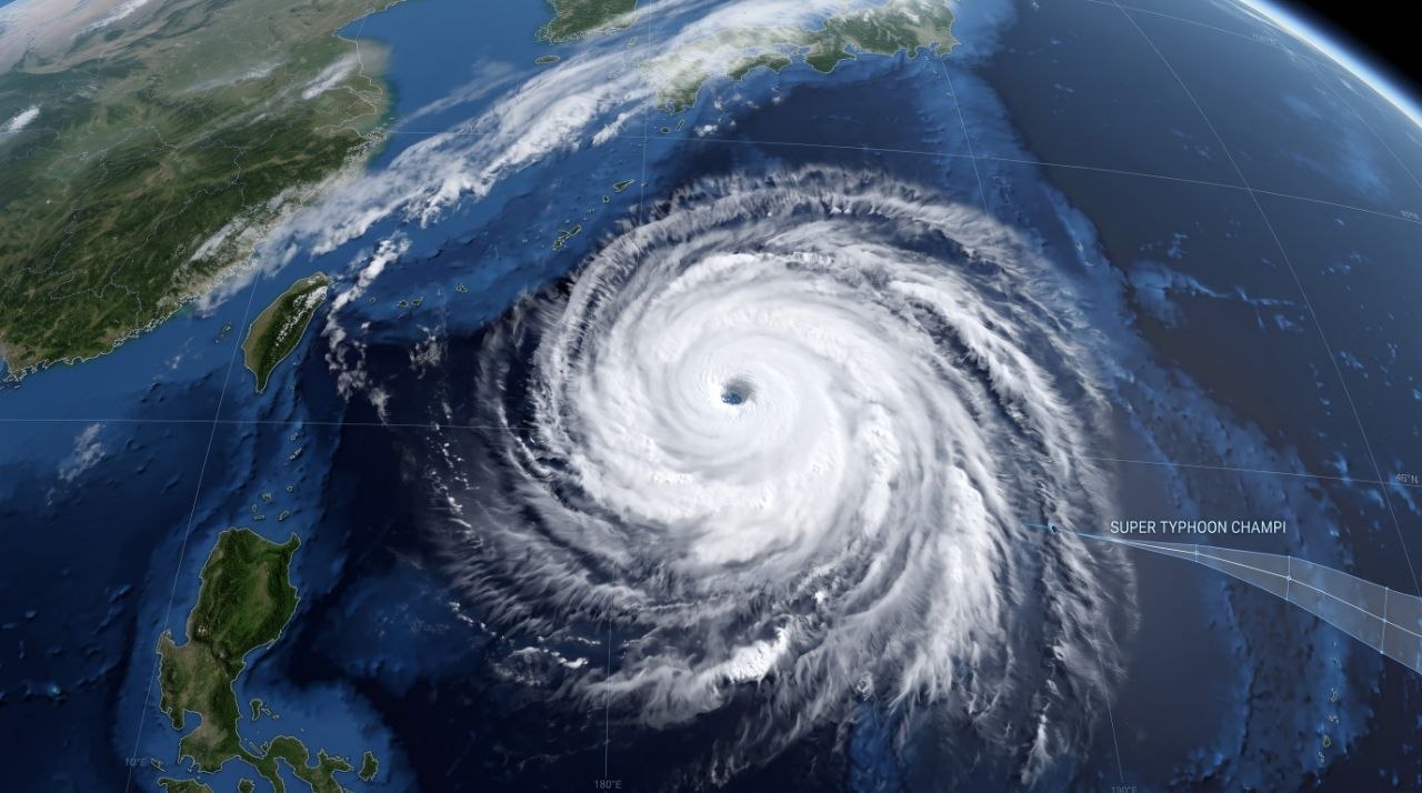
Super Typhoon Champi has emerged as one of the strongest tropical cyclones on Earth in 2026, generating immense wind speeds and triggering emergency land warnings as it tracks across the Western Pacific toward Taiwan and eastern China.
According to updates from meteorologists and weather agencies, Champi packed peak sustained winds reaching up to 185 mph (296 km/h) over the Philippine Sea before gradually shifting its trajectory. Prior to its current approach toward East Asia, the violent system made a close pass just south of Guam on October 18, stripping roofs and downing trees across the island as the third typhoon to impact the Mariana Islands this year.
Forecast Path and Expected Impacts
Forecasters report that the massive storm is tracking west-northwestward, prompting authorities in Taiwan to issue official land warnings and ground 125 flights. The severe weather system is projected to affect Taiwan and eastern China through the weekend, bringing torrential downpours, violent winds, and a high risk of coastal flooding and landslides.
Heavy rainfall is forecast to impact Taiwan from Thursday night, October 22, through Saturday, October 24, before spreading into east-central China from Friday night, October 23, through Sunday, October 25. Meteorologists indicate that rainfall totals could reach up to 18 inches, with localized maximums touching 36 inches, particularly in northeastern Taiwan. Accompanying wind gusts are expected to reach up to 120 mph—with potential local storm maximums of 160 mph along Taiwan’s eastern coast—raising concerns over structural damage, extended power outages, and major transportation delays.
Regional Preparations and Warnings
Emergency measures remain in place across vulnerable coastal regions as communities prepare for the worst of the tempest. Forecasters note that the lack of upper-level winds initially allowed the system to rapidly escalate into an exceptionally violent storm characterized by a vast warning radius extending hundreds of kilometers.
While Champi is anticipated to weaken slightly as it makes a northwestern turn and passes near or north of Taiwan before heading toward China’s coastline and southern Japan, the sheer scale of the cyclone ensures widespread disruptions. Residents across affected zones have been urged to monitor local weather updates, secure property, and heed evacuation advisories issued by civil defense authorities.